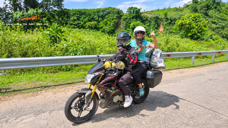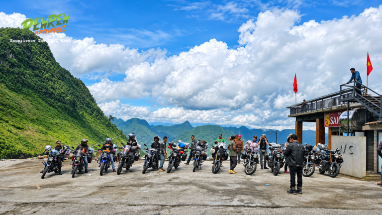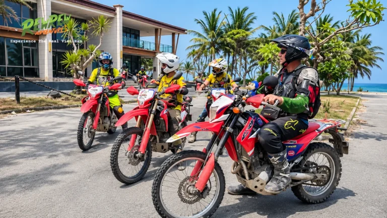

An Easy Rider tour is a guided motorcycle road trip where travelers ride pillion behind licensed local riders to explore authentic landscapes, mountain passes, and rural heritage. Selecting the right itinerary transforms your journey through Vietnam from a passive bus commute into an active cultural exploration. The route choices determine road safety levels, physical comfort, cultural interactions, and panoramic scenery across different geographical zones.
Quick Check: Vietnam Easy Rider Routes at a Glance
- Top Day Trip: Dalat to Elephant Falls and Pongour Falls (8 hours, dramatic waterfalls and K’Ho minority villages).
- Best Coastal-Mountain Route: Dalat to Nha Trang via Omega Pass (140 km, rapid transition from 1,500m pine forests to sea level).
- Ultimate Highland Expedition: Dalat to Hoi An via the historic Ho Chi Minh Trail (5 to 7 days, deep rural culture and war history).
- Average Rates: $35 to $45 USD per day for local day trips; $65 to $85 USD per day for multi-day tours including bike, guide, fuel, and lodging.
1. Da Lat to Lak Lake and Central Highlands Heritage Route
The Da Lat to Lak Lake route is the classic itinerary that established the Easy Rider movement during the early 1990s. Spanning roughly 320 kilometers over three to four days, this trail traverses the fertile heartland of Lam Dong and Dak Lak provinces. The journey descends from Da Lat at 1,500 meters elevation through winding agricultural valleys toward the peaceful waters of Lak Lake.
Travelers ride through terraced hillsides carpeted with Robusta coffee bushes, mulberry farms, and pepper orchards. Unlike crowded commercial bus corridors, this route prioritizes quiet provincial roads such as DT725 and National Route 27. Along the way, riders pause at traditional silk weaving workshops in Lam Ha and witness the powerful cascades of Elephant Waterfall.

At Lak Lake, visitors interact with the indigenous M’nong ethnic community residing in Jun and M’Lieng villages. Guests can choose between traditional wooden longhouse homestays or lakeside eco-resorts.
Pillion passengers enjoy peaceful wooden dugout canoe crossings across the lake during sunset while listening to regional folklore.
- Distance and Duration: 320 km covered across 3 to 4 days.
- Starting and Ending Points: Departs Da Lat and concludes in Nha Trang, Buon Ma Thuot, or Mui Ne.
- Road Conditions: Paved two-lane mountain highway with occasional rural asphalt patches and agricultural crossings.
- Best Suited For: Culture enthusiasts, first-time motorbike travelers, and photographers looking for authentic rural immersion.
2. Hai Van Pass Coastal Ride from Hoi An to Hue
The Hai Van Pass coastal journey connects the ancient trading port of Hoi An with the imperial citadel of Hue across 145 kilometers of scenic seaside asphalt. This route crosses National Route 1A, climbing the famous Ocean Cloud Pass that marks the natural geographical boundary between Da Nang and Thua Thien Hue province.
The mountain pass spans 21 kilometers of winding tarmac rising to an elevation of 496 meters above sea level. Riding pillion on this stretch delivers unobstructed panoramas of Da Nang Bay, Son Tra Peninsula, and the turquoise waters of Lang Co Lagoon. Historic French and American observation bunkers remain accessible at the mountain summit, offering historical perspective on central wartime geography.
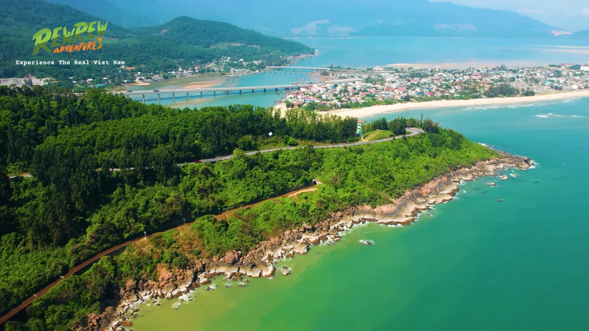
Guides steer away from busy highway sections by utilizing scenic secondary roads through fishing communities and coastal lagoons. The itinerary includes stops at Marble Mountains to explore hidden Buddhist cave temples, followed by fresh seafood lunches along Lang Co beach.
The ride concludes along the quiet rural roads of Tam Giang Lagoon before entering the royal gates of Hue.
- Distance and Duration: 145 km completed over 1 to 2 days.
- Starting and Ending Points: Departs Hoi An or Da Nang, finishes in Hue (or reverse).
- Road Conditions: Excellent modern paved asphalt with wide concrete crash barriers and light vehicle traffic.
- Best Suited For: History buffs, couples, and travelers seeking sweeping coastal vistas without rugged off-road riding.
3. Ha Giang Karst Plateau Loop through Ma Pi Leng Pass
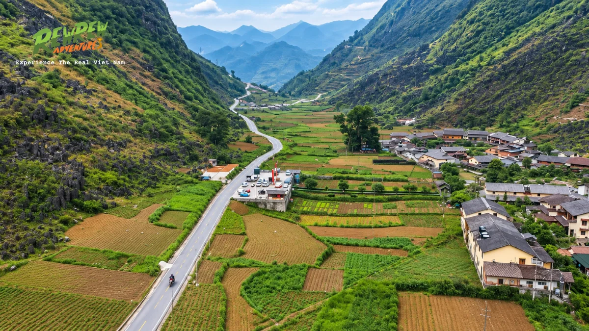
The Ha Giang Loop is an extraordinary high-altitude expedition across the UNESCO-recognized Dong Van Karst Plateau Global Geopark in northern Vietnam. Covering 350 kilometers over three to five days, this loop features the most dramatic vertical topography and limestone gorges in Southeast Asia.
Starting from Ha Giang City, riders ascend through Quan Ba Heaven Gate at 1,000 meters elevation before entering the dramatic Twin Mountains valley.
The route snakes through Yen Minh pine forests and traverses historic Hmong communities toward Dong Van and Meo Vac. The architectural highlight includes the hundred-year-old palace of the Hmong King Vuong Chinh Duc in Sa Phin valley.
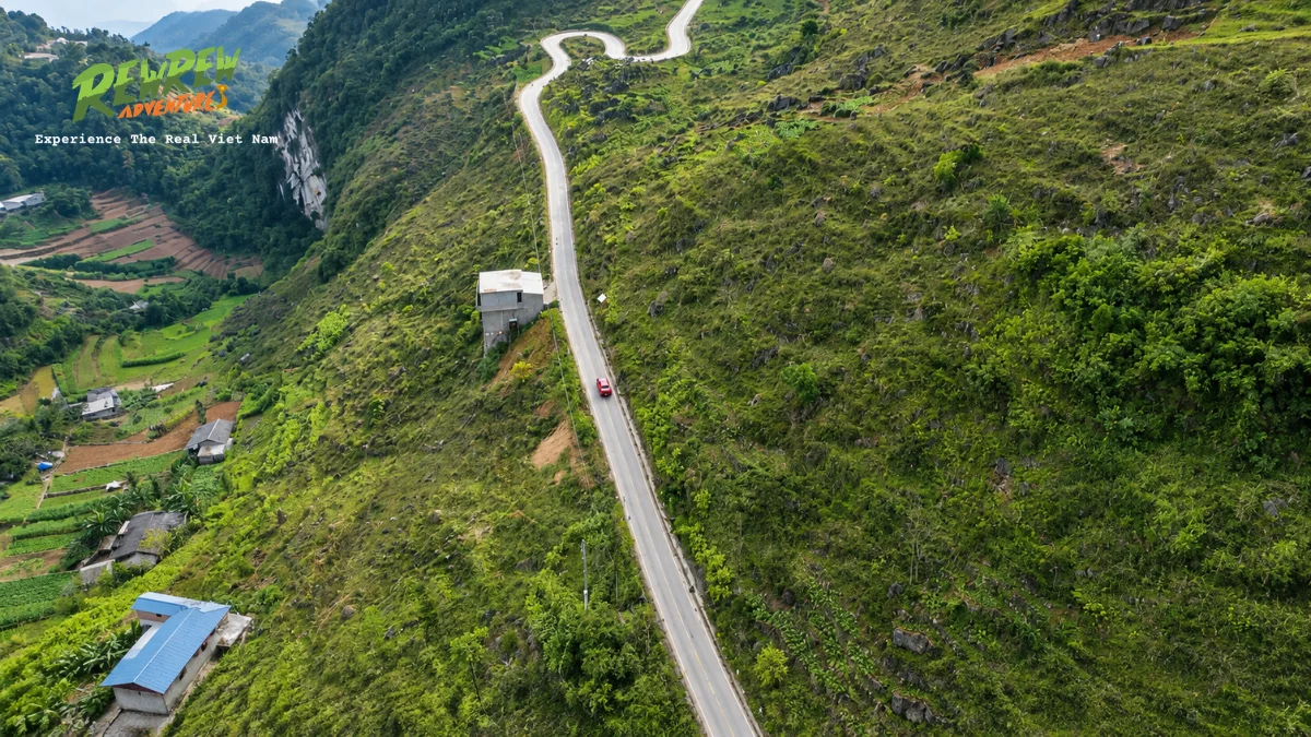
The centerpiece of the entire loop is the legendary Ma Pi Leng Pass, perched 1,500 meters above the emerald waters of the Nho Que River. The 20-kilometer mountain road clings tightly to jagged limestone cliffs, creating an exhilarating visual experience. Travelers can take a motorized boat ride through Tu San Canyon, the deepest canyon rift in Southeast Asia.
- Distance and Duration: 350 km completed across 3 to 5 days.
- Starting and Ending Points: Departs and concludes in Ha Giang City.
- Road Conditions: Narrow mountain roads with sharp hairpin turns, steep gradients, and occasional gravel zones under weather repair.
- Best Suited For: Thrill-seekers, experienced adventure travelers, and landscape photography enthusiasts.
4. Da Lat to Nha Trang via Khanh Le Mountain Pass
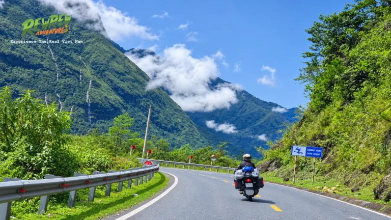
The journey from Da Lat to Nha Trang via National Route 27C is one of the steepest single-day elevation descents in Southeast Asia. Covering 140 kilometers, this route transitions from cool pine highlands at 1,700 meters elevation down to tropical ocean beaches at sea level in less than five hours of riding.
The highlight of this journey is Khanh Le Pass, also known as Omega Pass or Bidoup Pass. The pass road spans 29 continuous kilometers of descending asphalt curves carving through pristine tropical rainforests and Bidoup Nui Ba National Park. Roadside waterfalls cascade down granite rock walls right beside the tarmac, frequently cloaked in swirling mountain mist.
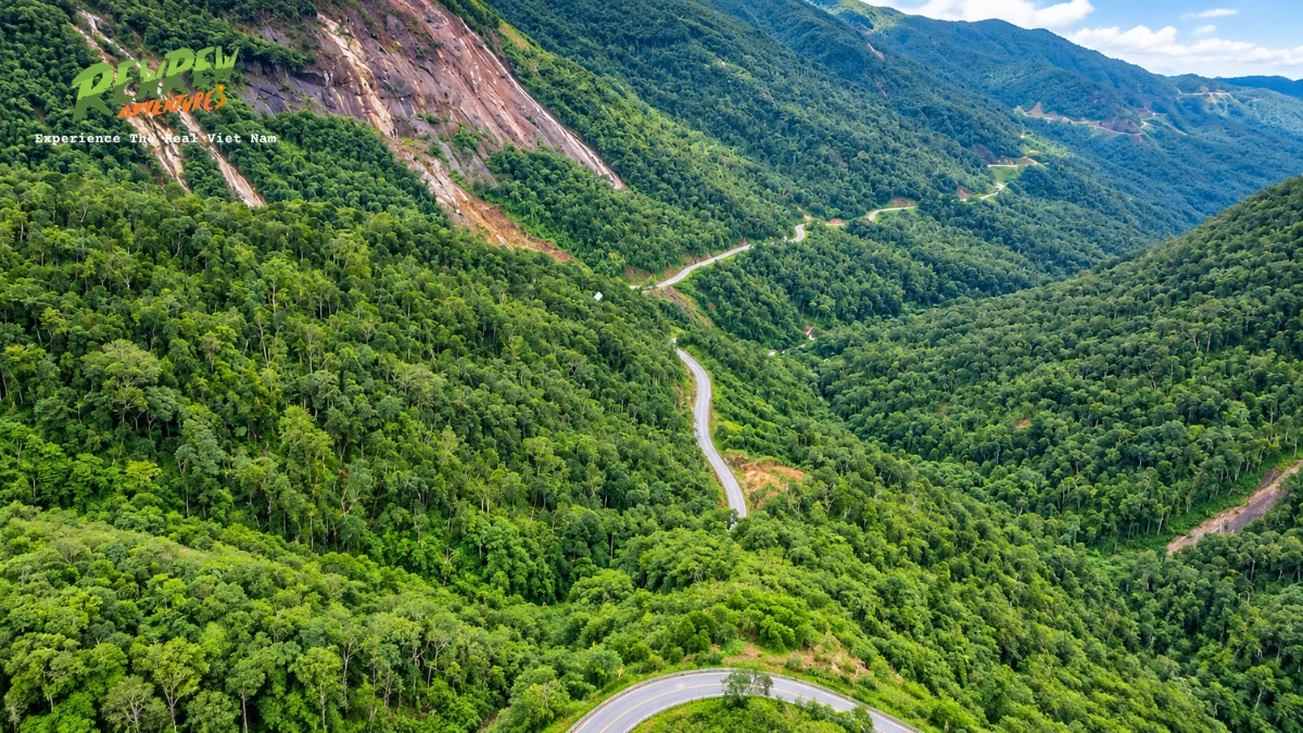
The dramatic shift in microclimates during the ride is remarkable. Temperatures begin around 18 degrees Celsius in Da Lat, dropping cooler inside the high-altitude cloud cover, before warming up to 32 degrees Celsius as you reach the coastal plains of Khanh Hoa province. Guides stop at panoramic roadside shelters to let passengers photograph the forested mountain valley below.
- Distance and Duration: 140 km completed in 1 full day (or 2 days with an overnight rural farmstay).
- Starting and Ending Points: Departs Da Lat and concludes in Nha Trang.
- Road Conditions: Smooth modern asphalt with sweeping banking turns, though afternoon rainfall can cause localized wet patches.
- Best Suited For: Travelers transitioning between mountain and beach destinations who prefer an active travel alternative to tourist shuttle vans.
5. Da Lat to Mui Ne Sand Dunes via Dai Ninh Pass
The overland expedition connecting Da Lat with the coastal resort town of Mui Ne covers approximately 160 kilometers across National Route 28B and Dai Ninh Pass. This scenic route bridges the cool southern Central Highlands with the semi-arid coastal scrublands of Binh Thuan province.
The route winds through deep pine forests surrounding Duc Trong before climbing the crest of Dai Ninh Pass. From the mountain ridge, travelers enjoy sweeping views over the turquoise waters of Dai Ninh hydroelectric reservoir. As the road snakes downward along steep mountain curves, the dense green vegetation gives way to cashew plantations, dragon fruit farms, and red dirt landscapes.
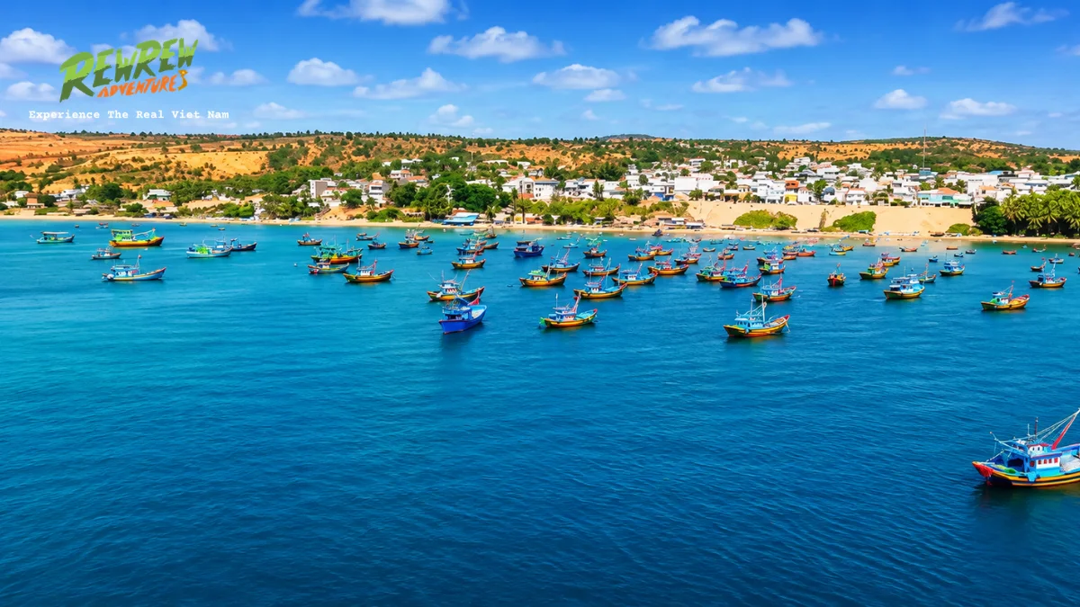
Approaching the coast, riders experience the surreal visual transformation into Mui Ne famous sand desert microclimate. The ride passes alongside the White Sand Dunes and Red Sand Dunes before concluding at the fishing harbor lined with traditional round coracle boats. Itineraries can be customized to stop at rural Cham minority villages along the coastal plains.
- Distance and Duration: 160 km completed in 1 to 2 days.
- Starting and Ending Points: Departs Da Lat and finishes at Mui Ne beach.
- Road Conditions: Mountain tarmac with occasional sections of patched asphalt and gentle agricultural curves.
- Best Suited For: Sun-seekers, nature lovers, and travelers wanting to experience two distinct climate zones in a single day.
6. Saigon to Da Lat via Cat Tien National Park and Tea Hills
The three-day overland route from Ho Chi Minh City to Da Lat spans 310 kilometers, providing a gradual escape from urban southern density into highland tranquility. Bypassing congested sections of Highway 1, experienced Easy Rider guides utilize rural corridors flanking the Dong Nai River basin and Tri An Lake.
The primary destination on the first day is Cat Tien National Park, a critical UNESCO biosphere reserve protecting lowland tropical rainforests. Travelers enjoy guided night wildlife safaris to observe sambar deer, civets, and wild boars, followed by morning bird watching among hundred-year-old tung trees.
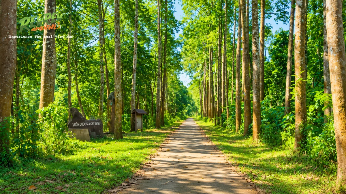
Day two and three ascend steadily through Bao Loc, the tea and silk capital of Vietnam. Riders tour sweeping green tea plantations at Tam Chau, sample fragrant Oolong teas, and visit the thunderous multi-tiered cascade of Dambri Waterfall. The final stretch ascends Prenn Pass into the pine-fringed valleys of Da Lat.
- Distance and Duration: 310 km completed across 3 days.
- Starting and Ending Points: Departs Ho Chi Minh City and concludes in Da Lat.
- Road Conditions: Flat paved suburban roads transitioning into winding highland asphalt with gradual elevation gains.
- Best Suited For: Eco-tourists, wildlife enthusiasts, and travelers looking for an authentic overland link between south and central regions.
7. Da Lat Countryside Discovery Loop
The Da Lat Countryside Loop is an intensive 85-kilometer single-day loop designed for travelers who want to explore highland culture, agriculture, and mountain passes without undertaking multi-day packing logistics. The circuit departs early from downtown Da Lat, descending the winding turns of Ta Nung Pass.
This itinerary centers on authentic local craft production and smallholder farming methods that power the regional economy. Guests visit family-owned Robusta coffee plantations, where guides explain selective harvesting and natural processing methods. Stops include artisanal silk factories where cocoons are boiled and reeled, organic rice wine distilleries, and cricket breeding facilities.
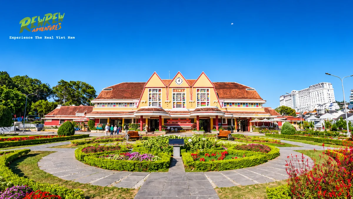
Natural wonders along the loop include the majestic Elephant Waterfall, where visitors can hike down stone stairs into mist-filled volcanic ravines. Many travelers also visit Linh An Pagoda to view the imposing 71-meter statue of the Bodhisattva Avalokiteshvara. The day concludes with a scenic climb back through scented pine ridges and strawberry greenhouses during late afternoon light.
- Distance and Duration: 85 km completed in 1 day (7 to 8 hours).
- Starting and Ending Points: Departs and finishes in Da Lat.
- Road Conditions: Excellent paved local roads, agricultural lanes, and well-maintained mountain pass tarmac.
- Best Suited For: Families, day-trippers, first-time pillion riders, and travelers on limited vacation schedules.
8. Phong Nha to Khe Sanh along the Western Ho Chi Minh Trail
The Western branch of the Ho Chi Minh Highway between Phong Nha and Khe Sanh represents one of the most remote and pristine motorcycle corridors in Indochina. Stretching 240 kilometers through western Quang Binh and Quang Tri provinces, this mountain road passes through the rugged Truong Son mountain range.
Unlike the heavily commercialized eastern highway, the western branch carries almost zero commercial bus or cargo truck traffic.
The single-lane concrete and asphalt road winds gracefully through old-growth primary rainforests and towering karst limestone towers within Phong Nha-Ke Bang National Park buffer zones. Pillion riders frequently travel for hours without encountering another motorized vehicle.
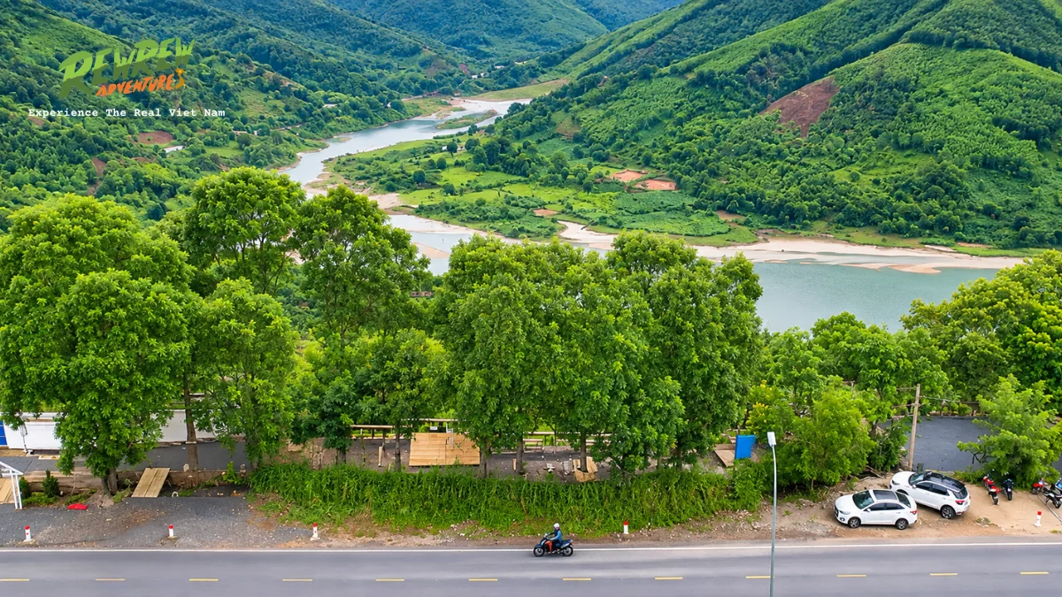
Historical significance permeates this corridor, which served as a crucial logistical supply line during the Indochina conflicts. The route stops near remote Van Kieu ethnic minority villages, clear mountain rivers suitable for swimming, and historical battlefields around the former Khe Sanh Combat Base and Ta Con airfield.
- Distance and Duration: 240 km completed over 2 to 3 days.
- Starting and Ending Points: Departs Phong Nha National Park and finishes in Khe Sanh or Hue.
- Road Conditions: Narrow concrete ribbons and smooth mountain asphalt, requiring defensive riding due to remote conditions and lack of petrol stations.
- Best Suited For: Off-the-beaten-path adventurers, military history scholars, and nature purists seeking absolute solitude.
9. Meo Vac to Cao Bang via Ban Gioc Waterfall Frontier
The northeastern border ride from Meo Vac to Cao Bang connects two of northern Vietnam most spectacular geological wonders across 280 kilometers. Traveling eastward from the rocky canyons of Ha Giang, the route traces the Chinese border through Bao Lac and the tranquil river valleys of Cao Bang province.
The landscape softens from stark karst limestone needles into rolling agricultural hills, bamboo groves, and clear turquoise waterways.
Riders follow the Quay Son River toward Ban Gioc Waterfall, the fourth largest border-straddling waterfall system in the world. The thunderous multi-tiered falls plunge over 30 meters across limestone ledges surrounded by lush farmland.
Nearby attractions include the cavernous interior of Nguom Ngao Cave, extending several kilometers with ancient stalactite formations, and the historical sanctuary of Pac Bo Cave. Pillion travelers enjoy peaceful homestays in traditional Tay ethnic stilt houses constructed with stone tiles and timber beams in Phia Thap incense village.
- Distance and Duration: 280 km completed across 3 to 4 days.
- Starting and Ending Points: Departs Meo Vac and concludes in Cao Bang City.
- Road Conditions: Undulating mountain highway, scenic paved country roads, and occasional single-track valley paths.
- Best Suited For: Cultural travelers, borderland explorers, and landscape photographers wanting to see iconic waterfalls.
10. Trans-Vietnam Epic Highway Expedition from Saigon to Hanoi
The Trans-Vietnam motorcycle expedition is the holy grail of Southeast Asian road trips, covering over 1,950 kilometers across fourteen to twenty-one days. This grand journey connects the southern commercial center of Ho Chi Minh City with the thousand-year-old capital of Hanoi, traversing the full spectrum of Vietnam landscapes.
The expedition combines the finest segments of the individual tours described above. Riders travel across the Central Highlands via Da Lat and Lak Lake, cut across coastal passes at Hai Van, navigate the historic battlegrounds along the Ho Chi Minh Highway, and explore ancient cave networks in Phong Nha.

Undertaking this journey pillion behind a professional guide eliminates the stress of complex logistics, mechanical breakdowns, and cross-provincial permits. Riders experience the deep cultural rhythm of daily life across dozen provinces, dining at authentic roadside eateries and sleeping in hand-picked family homestays.
- Distance and Duration: 1,950 km completed over 14 to 21 days.
- Starting and Ending Points: Departs Ho Chi Minh City and finishes in Hanoi (or reverse).
- Road Conditions: Complete mixture of high mountain passes, coastal freeways, provincial highways, and rural gravel tracks.
- Best Suited For: Gap year travelers, sabbatical adventurers, and lifelong motorcycle travel enthusiasts.
Frequently asked questions about Vietnam Easy Rider tours
Is an Easy Rider tour safe for solo female travelers?
Yes, Easy Rider tours are safe and widely embraced by solo female travelers exploring Vietnam. Licensed operators maintain rigorous codes of conduct, vetted guiding staff, and secure private homestay partnerships. Pillion passengers enjoy personal autonomy, dedicated companionship, and protective local navigation throughout rural regions.
Do I need a motorcycle driving license to take an Easy Rider tour?
No, you do not need a motorcycle license to join an Easy Rider tour as a pillion passenger. An experienced, licensed Vietnamese guide operates the motorbike, handles traffic navigation, and manages fuel stops. Travelers who wish to self-drive their own motorbike behind the guide must possess an International Driving Permit with valid motorcycle endorsement.
How is large luggage handled on multi-day motorcycle journeys?
Your main suitcase or backpack weighing up to 20 kilograms is securely strapped to the motorcycle rear steel luggage rack using heavy-duty bungees. Guides enclose all luggage in thick waterproof covers to guard against road dust and tropical downpours. Passengers carry a light shoulder bag or daypack for immediate personal essentials.
What happens if it rains during a motorcycle tour?
When rain begins during transit, guides immediately pull over at covered roadside shelters to equip passengers with heavy-duty two-piece raincoats and protective waterproof shoe covers. Riding speeds are reduced by half on wet surfaces, and itineraries are dynamically adjusted to bypass low-lying flood-prone roads or slippery mountain passes.
Which month is the best time for Easy Rider tours in Vietnam?
The best overall months for motorcycle travel across Vietnam are March to May and September to November. During these shoulder seasons, the Central Highlands and northern mountains experience moderate temperatures, clear skies, and minimal rainfall. Coastal routes along Hoi An and Hue enjoy pleasant sunny conditions without the extreme heat of midsummer.